Posted by Founder, Bicycling Monterey
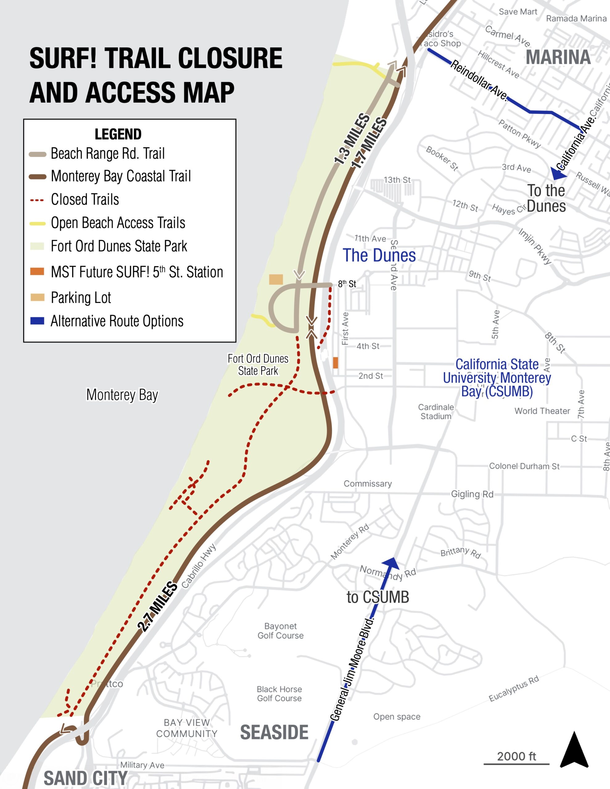
Monterey Bay coastal trail — partial closure and access map
In addition to the info below, published 12/13/25, you may also be interested in a 1/15/26 article by Celia Jiménez in Monterey County Now: https://www.montereycountynow.com/news/local_news/two-construction-projects-along-highway-1-in-marina-lead-to-challenges-for-cyclists/article_7f5ae5aa-148e-4210-8970-496bea04d8a7.html.
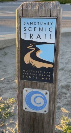
A portion of Monterey County’s section of the Monterey Bay Sanctuary Scenic Trail is affected by the following.
The information below was provided by Ikuyo Yoneda-Lopez of Monterey-Salinas Transit on December 9, 2025, who advised: “The map includes all trails that are currently closed, whether it’s for the California State Parks project [Fort Ord Dunes https://www.parks.ca.gov/?page_id=580] or the SURF! project.”
Questions? Please contact MST: https://mst.org/about-mst/planning-development/surf-contact-us/
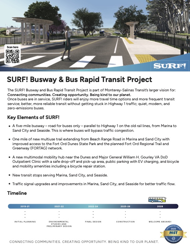
For slides from MST’s related Nov 5, 2025 presentation to the Transportation Agency for Monterey County (TAMC) Bicycle and Pedestrian Advisory Committee, refer to PDF “Bike and Ped Coastal Access” (“SURF! Busway and Bus Rapid Transit Project — Construction Updates”) at https://www.tamcmonterey.org/2025-11-05-bike-and-pedestrian-facilities-advisory-committee-meeting. (Note their warning, “This app uses experimental AI and may produce errors.”)
This post was published on 13 December 2025. One or more changes last made to this post on 15 January 2026.