Posted by Founder, Bicycling Monterey
CycleTracks App: Record your Monterey Bay region ride, help improve bikeways
Clickhere for details on CycleTracks Bike Month 2014 Drawing
This post was first published 3/22/12, with subsequent updates.
9/26/13 update: The new Cycle Tracks Monterey website is now up. Visit http://cycletracksmonterey.org/site
May 2013: For an update on the latest with the Monterey Bay Area Bicycle Travel Demand Model Project (CycleTracks AKA Cycle Tracks), click here to visit the Association of Monterey Bay Area Governments (AMBAG) site.
For more information contact Cody Meyer at cmeyer@ambag.org.
Follow Cycle Tracks Monterey on Facebook.
* * * * *
July 2012: Want the latest about CycleTracks in the Monterey Bay tri-county region? Contact Anais Schenk at the Association of Monterey Bay Area Governments: aschenk@ambag.org.
For more about bicycling data collection, see “Donate Your Data: Make every ride a voice for cycling” by Jody Brooks at Plan Bike. You may also wish to check in with Robin J. Thurston at Map My Ride.
* * * * *
Dear Bicyclists of San Benito, Santa Cruz, and Monterey Counties:
If you have a smartphone, you can help improve our bikeways!
Transportation planners need your input to make the Monterey Bay Area an even better place to bike. The Association of Monterey Bay Area Governments is working with leading experts to develop a modeling tool. This tool will assist decision makers in identifying the best places to plan for new bicycle routes throughout the tri-county Monterey Bay Area.
AMBAG will be collecting data from our region’s bicyclists through a tool called “CycleTracks” through Bike Week 2012. Since the data collection effort started in Spring of 2011, the region has recorded close to 1000 trips. This is thanks to the hard work of an avid 200 cyclists!
Earlier, it was announced that the collection would continue through October 2011; that period has been extended.
We need your help to bump this up to 500 users by the end of Bike Week 2012 (by May 13, 2012).
Reminder
Distracted driving–and distracted biking–can be deadly. We know it’s a cool toy, but no playing with your CycleTracks app while pedaling!
How to help
Download the CycleTracks smartphone application here (iPhone) or here (Android). Then use it!
You can also help by getting your friends, colleagues and family members to do the same.
- You only need to record each of your trips once.
- Trips to work, to the library, to the store or the beach are all eligible trips for you to record and upload!
Using the CycleTracks app is easy.
- At the start of each trip, tap the “start” button on the app.
- The app will prompt you to identify your trip purpose and comments.
- At the end of each trip, tap the “save” button. When you tap “save,” your trip information will upload to a server.
- You may also choose to enter personal information such as age, email, gender and information about your typical cycling commute.
Recording your routes and your trip details will help the region’s planners and decision makers gain a detailed understanding of the needs of cyclists. This will help make the Monterey Bay Area an ideal place to ride your bike to work, school and play.
Plus, you’ll get to log and map your bike routes!
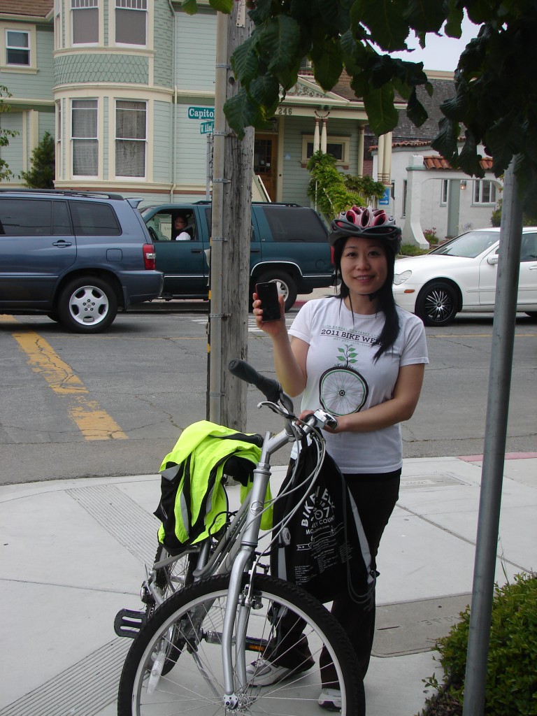
Kaki Cheung of TAMC using the CycleTracks app in Salinas.
CYCLETRACKS APP and the Bicycle Modeling tool
The CycleTracks app was developed by the San Francisco County Transportation Authority (SFCTA) through funding from a Caltrans grant. The CycleTracks app is free for users.
Each time you upload a commute trip, it gets sent to SFCTA’s server. Once the data collection period is over, AMBAG will obtain the data from SFCTA. The data will allow us to better understand what factors influence the routes Monterey Bay residents bike along, which will in turn help support investments in the most effective bicycle facilities in the region.
In light of our state mandate to achieve a 5% reduction in regional greenhouse gas emissions from the transportation sector by 2035, pursuant to California Senate Bill 375, this effort is particularly important.
Please note: CycleTracks app is uniquely suited to collect data for the development of the bicycle travel demand modeling tool. While there are a number of other useful tools for mapping your bike routes, CycleTracks is the only tool that will record the data we need exactly in the manner we need it!
For more information on this project, contact Anais Schenk at AMBAG: aschenk@ambag.org
Funding for AMBAG’s Bicycle Travel Demand Modeling Tool was provided by the Monterey Bay Unified Air Pollution Control District through AB 2766 grant funds.
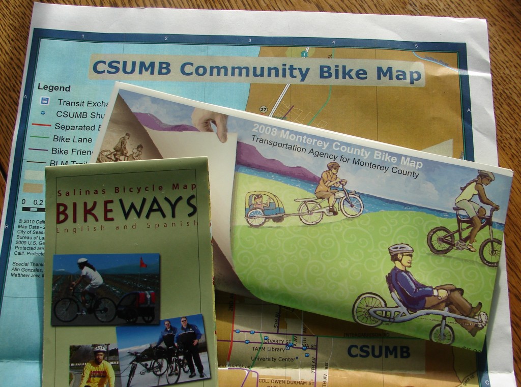
Want to see more and better bikeways on upcoming maps?
If you have a smartphone, please use the CycleTracks app!
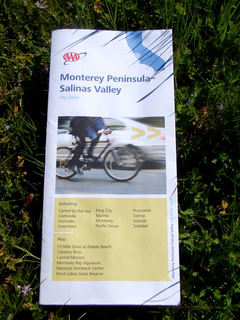
Even this American Auto Association map for the local area added a photo in 2011 to show that bicycling is an important part of our transportation networks!
This post was published on 2 May 2014. One or more changes last made to this post on 4 September 2015.

