Posted by Founder, Bicycling Monterey
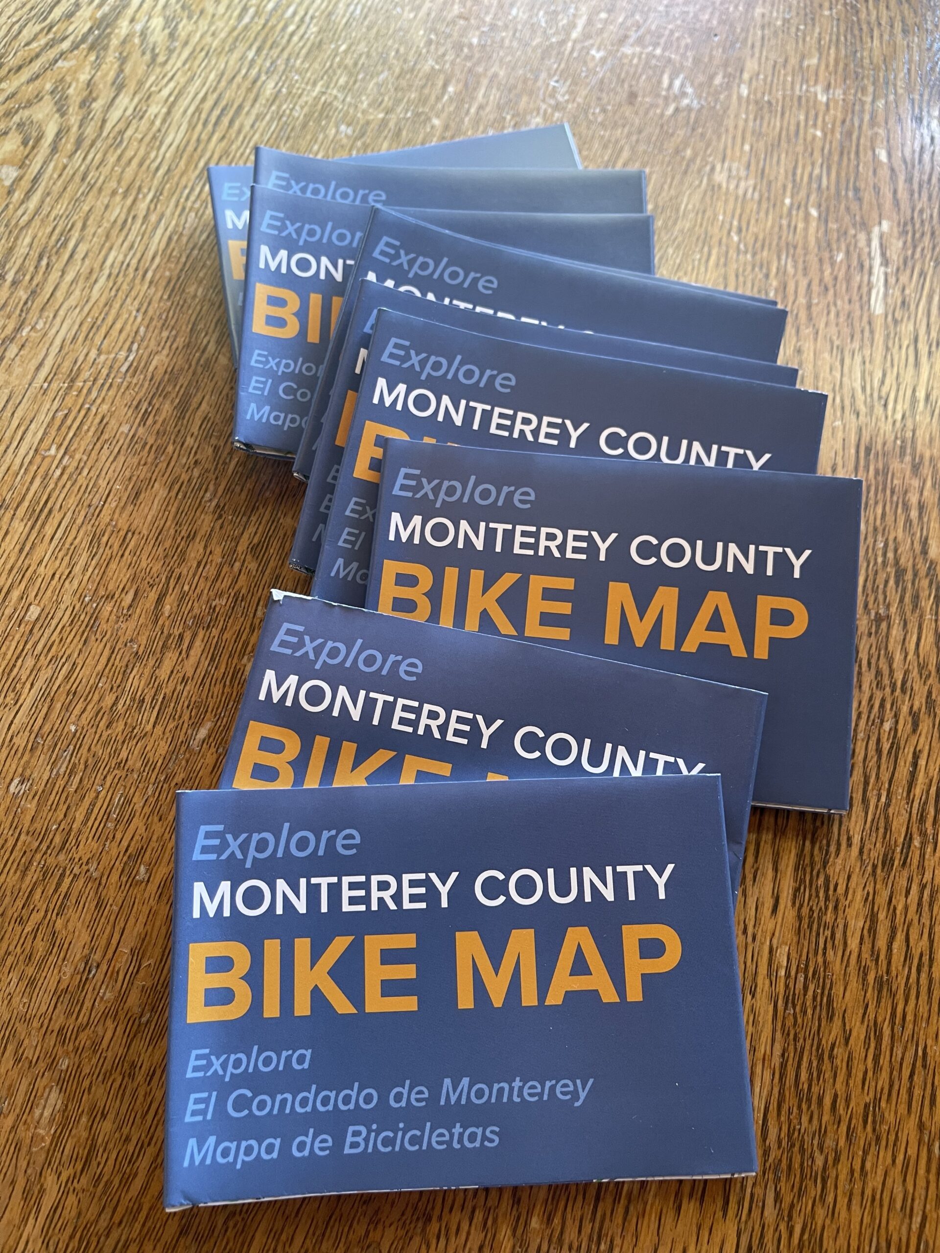
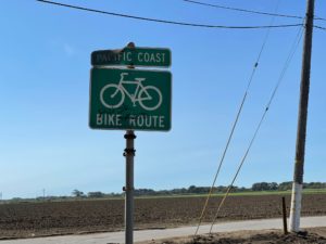
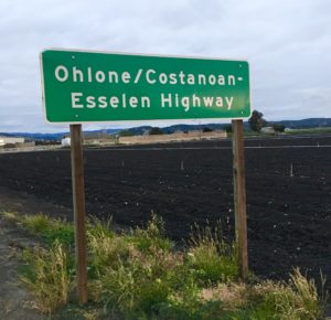
Bicycle Map for Monterey County / el mapa de bicicletas del condado de Monterey
El texto en el mapa de bicicletas del
condado de Monterey es bilingüe, español-inglés.
Habla español: Maria Montiel
https://www.tamcmonterey.org/maria-montiel-administrative-assistant
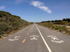
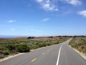
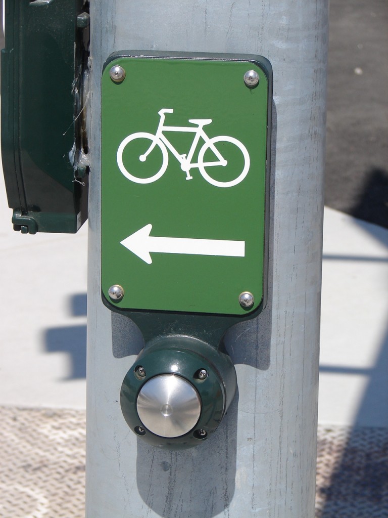
Monterey County Bike Map 2023 (the first new map since 2016) is available online and in print from the Transportation Agency for Monterey County. The printed maps are in a Z-fold format.
You may submit a request for up to ten free printed maps by emailing Ariadne Sambrano – https://www.tamcmonterey.org/ariadne-sambrano. In your email subject line, put “2023 Bike Map Request,” and in the body of your email, include your name, address, and phone number. (For any changes on submitting a request for printed maps, refer to https://www.tamcmonterey.org/monterey-county-bike-map.)
Available online are 8.5 x 11 PDFs of the 2023 bike map sections for the Monterey County cities or unincorporated communities listed below, as well as for the south Santa Cruz County city of Watsonville. To access, go to:
https://www.tamcmonterey.org/monterey-county-bike-map.
For Bicycling Monterey’s bike maps page, which includes additional maps, click here.
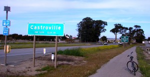
Castroville / Pajaro / Moss Landing
and Watsonville
Del Rey Oaks, Sand City, Seaside
Gonzales
Greenfield
King City
Marina / CSUMB
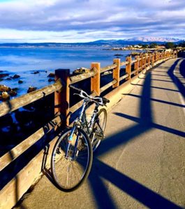
Monterey Peninsula, including Carmel, Monterey,
Pacific Grove, Pebble Beach, and more
Salinas
Soledad
Archived note: TAMC’s website announced in August 2023 that “The 2023 Monterey County Bike Map update is complete!” Kindly note that TAMC postponed issuing press releases about the 2023 map, as of September 4, 2023, because the project had not been officially finalized (e.g., the Z-fold maps weren’t yet available).
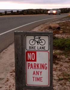
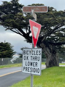
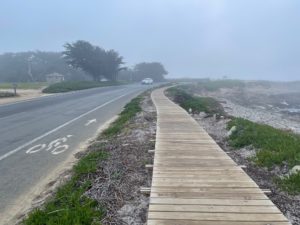
The previous edition of the Transportation Agency for Monterey County (TAMC) bike map was published in 2016. Thank you to TAMC for their work—on the 2023 bike map, on ongoing infrastructure improvements, and more—that makes it feasible for more residents and visitors to explore Monterey County by bicycle.
This post was published on 3 August 2023. One or more changes last made to this post on 22 August 2025.