Posted by Founder, Bicycling Monterey
Bicycle Commute Data Collection, May-Oct 2011
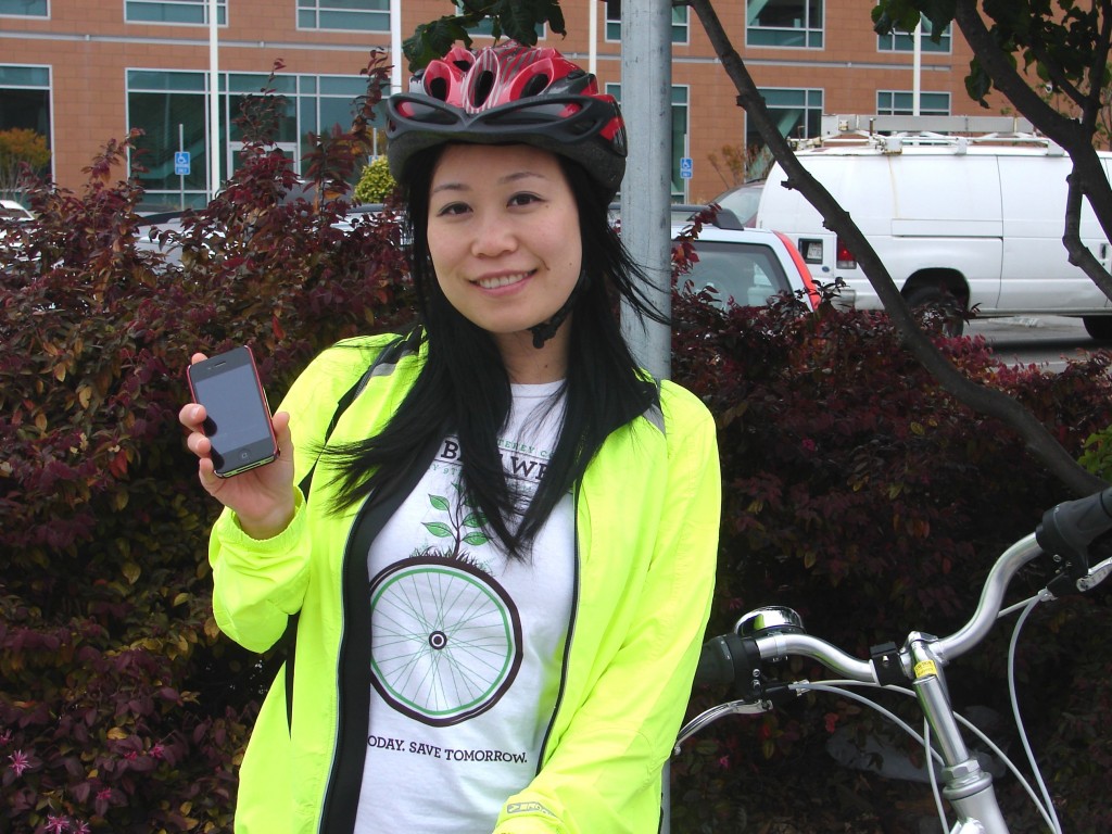
Kaki Cheung was using the Cycle Tracks app in Salinas
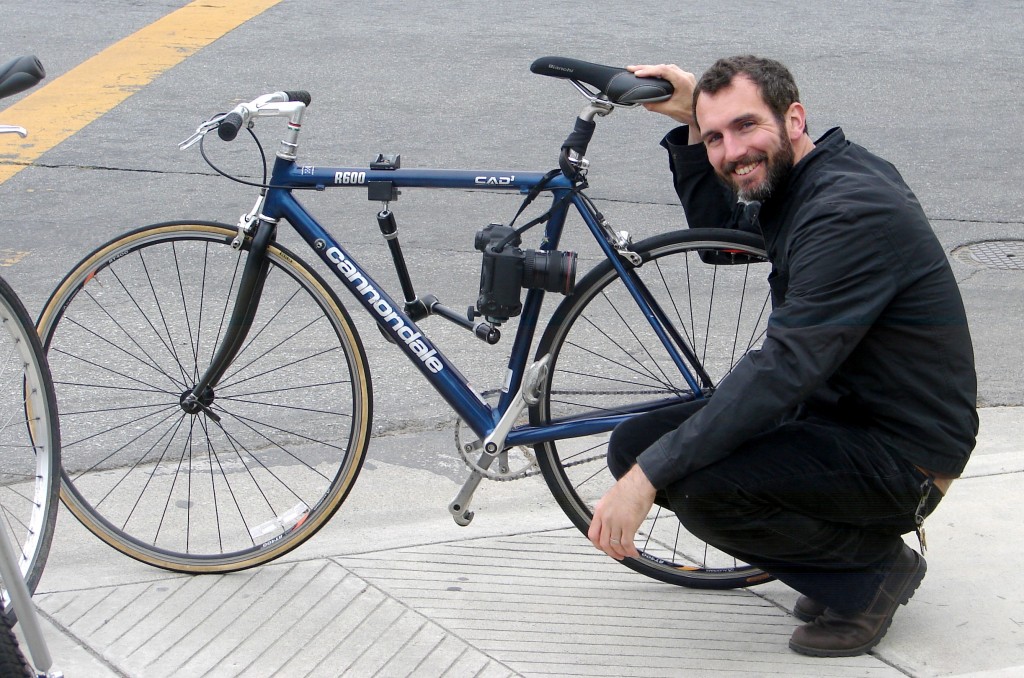
during her ride with Salinas Californian photographer Scott MacDonald on May 10, 2011, celebrating Bike Week, May 9-15.
MacDonald had his camera mounted to his bike so he could ride along!
* * * * *
The information below was published April 18, 2011, courtesy of Kaki Cheung, TAMC and Steph Nelson of AMBAG.
For more information on this project, contact: Steph A. Nelson, Associate Planner, Association of Monterey Bay Area Governments (AMBAG): snelson@ambag.org or 831.264.5092.
Dear Bicycle Commuters of Monterey, Santa Cruz, and San Benito Counties:
In the coming years, the Association of Monterey Bay Area Governments
will be working with leading experts to develop a modeling tool to help
transportation planners make the Monterey Bay Area an even better place
to bike. This tool will assist decision makers in identifying the best
places to plan for bicycle routes, paths and other facilities throughout
the tri-county Monterey Bay Area.
HOW YOU CAN HELP
In order to get this project started, we need your help! AMBAG will be
collecting data from our region’s bicycle commuters through a tool
called “CycleTracks.” This year’s Bike Week, scheduled for May 9th through May 15th, marks the kick-off for our bicycle commute data collection effort, which will continue through
October.
To contribute to our effort, you will need to download the CycleTracks
smartphone application for iPhones and Androids. Using the CycleTracks
app is easy. At the start of each trip, you will need to tap the “start”
button on the app. At the end of each trip, tap the “save” button. The
app will prompt you to identify your trip purpose and comments. When
you tap “save,” your trip information will upload to a server. You may
also choose to enter personal information such as age, email, gender and
information about your typical cycling commute.
Once you upload one or more commute trips through CycleTracks, you will
be entered into a drawing to win exciting prizes! In fact, you can vote
on the prizes by visiting our facebook
http://www.facebook.com/pages/Monterey-Bay-Bicycle-Commuters/2100972723
53483 page and placing your vote by June 1, 2011. The first 20 people
to vote will automatically be entered in the drawing. If you wish to be
entered into the drawing, you will need to submit your email address.
All personally identifiable data is voluntary and will be kept
confidential.
Recording your routes and your trip details will help the region’s
planners and decision makers gain a detailed understanding of the needs
of cyclists. This will help make the Monterey Bay Area an ideal place
to ride your bike to work, school and play.
Plus, you’ll get to log and map your bike routes!
CYCLETRACKS APP and the Bicycle Modeling tool
The CycleTracks app was developed by the San Francisco County
Transportation Authority (SFCTA) through funding from a Caltrans grant.
The CycleTracks app is free for users and can be found here
<http://itunes.apple.com/us/app/cycletracks/id338203326?mt=8> (iPhone)
or here <http://market.android.com/search?q=cycletracks&so=1&c=apps>
(Android).
Each time you upload a commute trip, it gets sent to SFCTA’s server.
Once the data collection period is over, AMBAG will obtain the data from
SFCTA. The data will inform the bicycle travel demand modeling tool for
the Monterey Bay Area. It will also help to make AMBAG’s regional travel
demand model- the modeling tool used in long range transportation
planning for the Monterey Bay Area – more responsive to bicycle trips.
In other words, we will be able to better predict how investments in
bicycle facilities impact what transportation mode people chose as well
as what route they choose. This, in turn, will help us better
understand the transportation investments we need to make in order to
get more people to ride their bikes to work, school and play. In light
of our state mandate to achieve regional greenhouse gas targets from the
transportation sector pursuant to California Senate Bill 375, this
effort is particularly important.
Please note: the CycleTracks app is uniquely suited to collect data for
the development of the bicycle travel demand modeling tool. While there
are a number of other useful tools for mapping your bike routes,
CycleTracks is the only tool that will record the data we need, in the
manner we need it!
Funding for AMBAG’s Bicycle Travel Demand Modeling Tool was provided by
the Monterey Bay Unified Air Pollution Control District through AB 2766
grant funds.
This post was published on 18 April 2011. One or more changes last made to this post on 25 October 2013.

